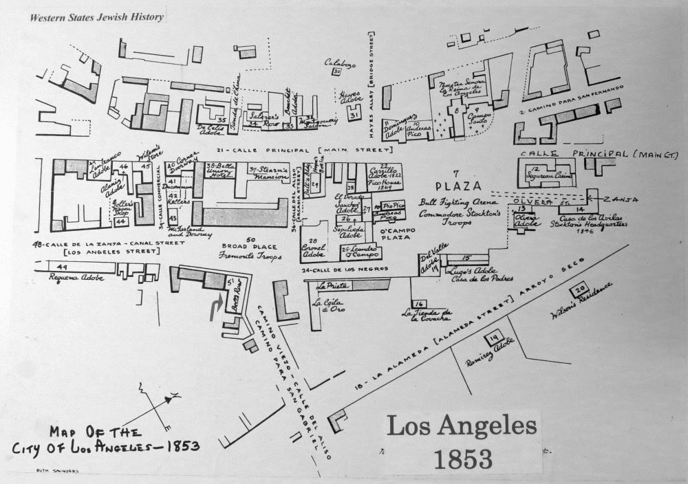
Map of Los Angeles, 1853
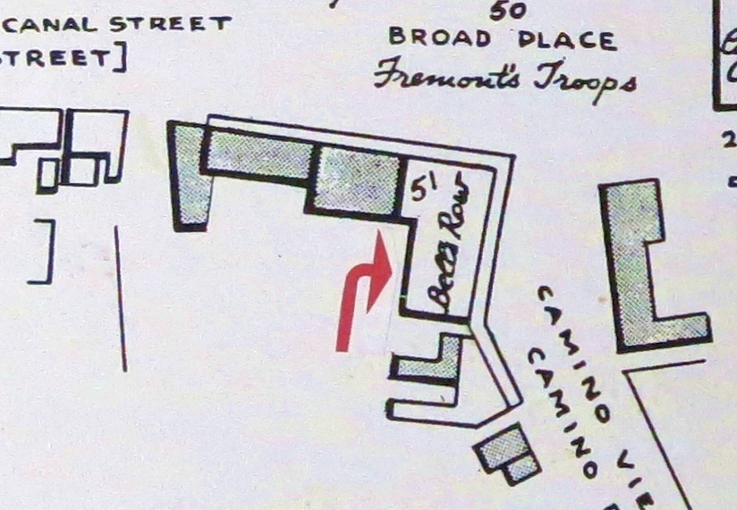
Map of Bell’s Row, from the Western States Jewish History Archives.
Los Angeles’ Jewish history began in 1842 with the arrival of Jacob Frankfurt, a tailor who was part of the Workman Exploratory Party.
Frankfurt opened a tailor and men’s clothing store at the end of Bell’s Row, considered the best business location in the small town of Los Angeles.
By the beginning of the 1850s, seven other pioneer Jews had opened various shops in the same building.
By 1858 a second story had been added to the adobe building.
Notes on the Map:
- El Calle Principal is today’s Main Street.
- Calle de la Banta (Canal Street) is now Los Angeles Street.
- Calle del Aliso led down to the river and to San Gabriel.
- Bell’s Row was on the corner of Alizo and Los Angeles Streets.
- Calle de los Negros was the location of saloons, gambling casinos, and bawdy houses. (Despite its name, the first African-American had yet to arrive in town.)
- The Plaza, still there today, was used for bullfights.
![WS0972-^Bell's Row-Los Angeles,CA [1858]^Home of original 8 Jewish Bachlers](http://www.jmaw.org/wp-content/uploads/2012/11/WS0972-7-N-Bells-Row-Los-AngelesCA-1858-300x153.jpg)


